


 301 / 444

251
~ Most extensively illustrated incunable. First edition of Schedel’s Chronicle ~
1139
[Nürnberg]
-
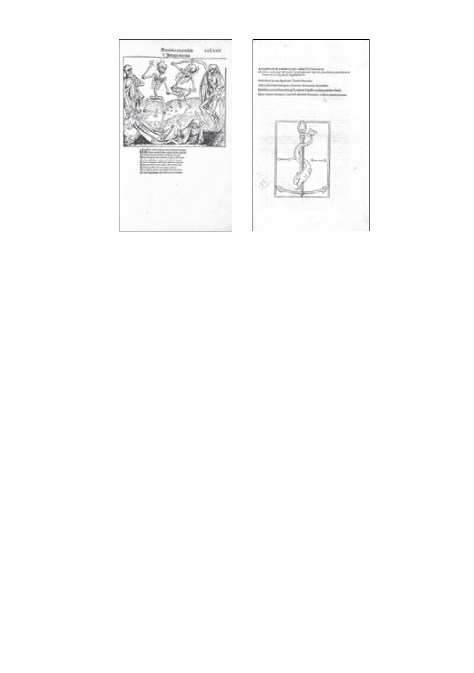
SCHEDEL, Hartmann
- Liber chronicarum. Nürnberg, A. Koberger for S. Schreyer
& S. Kammermeister, 12 July 1493, imperial folio, old calf over wood (rubbed), edges bevelled
inside, spine on 5 raised bands (joints splitting, head & tail def., old repairs), metal clasps and
catches (1 clasp gone), [20]-ccxci-[7] ff. (the unnumbered additional ff. “De regno polonie et eius
initio”, are in our copy bound between ff. 266-267. Without the final 2 blanks, ff. 183-184 inserted
from a sl. (1 cm) shorter and rubricated copy, occ. marg. dampstaining or soiling, bottom margin of
f. 122 and last 2 ff. strengthened). Very good and complete copy.
Cfr. ill.
€ 16000/25000
1st ed.
of the most extensively illustrated book of the 15th c. The 2 editions (Latin and German)
were planned simultaneously, each with its own specially designed, new type, and both with the
same woodcuts; the Latin ed. preceded the German by about 5 months. The text is a universal
history of the Christian world from the beginning of times to the early 1490s, written in Latin by
the Nürnberg physician and humanist Hartmann Schedel (1440-1514), with on f. 252v the famous
reference to the invention of printing in 1440. The Chronicle also incorporates geographical and
historical information on European countries and towns. The narrative is divided into 11 parts, the
so-called world ages.
Illustration
: xylographic title-page;
1809 woodcut ills printed from 645 blocks
by Michael
Wohlgemut, Wilhelm Pleydenwurff and their workshop, including
Albrecht Dürer
. The woodcuts
show religious subjects from the Old and New Testament, classical and medieval history, and a large
series of
city views
incl. Augsburg, Basel, Byzantium, Cologne, Florence, Jerusalem, Nürnberg,
Prague, Rome, Venice, Vienna. Included are
2 double-page maps
:
a world map, folio XIII
(Shirley
19) (splitting c’fold, c. 10 cm) based on Mela’s “Cosmographia” (1482),
and a map of northern
and central Europe
(lower margin trimmed to woodcut border & strenghtened, c’fold splitting c.
7 cm) by Hieronymus Münzer (1437-1508) after Nicolas Khyrpffs. The world map is one of only
three 15th-century maps showing Portuguese knowledge of the Gulf of Guinea of about 1470. The
map of Europe is closely associated with Nicolas of Cusa’s Eichstätt map, with which it is thought
to share a common manuscript source of c. 1439-54. It is therefore claimed to be the first modern
map of this region to appear in print. Although published later than the map of Germany in the 1482
Ulm Ptolemy, it was constructed earlier (Campbell, The earliest printed maps 1472-1500, 1987).
Decoration
: 27 large red and blue initials in Index and on ff. 262, 267 and 268; 14-line gilt initial
1139
114 1