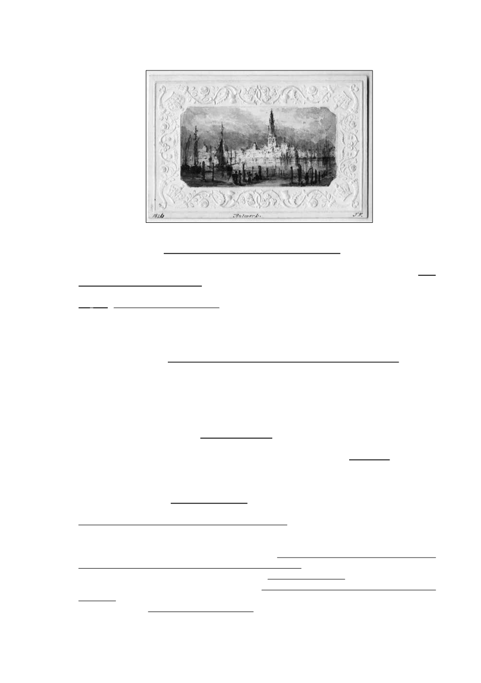
191
Nice panoramic view of Antwerp “sketched from nature augt 1826” (in pencil on verso), drawn in
the middle of an embossed border of flower garlands.
892 [Belgium - Antwerp]
-
Antverpia Gallis Anvers vernacule Antwerpen
. Amsterdam, Blaeu, 1649,
41,7 x 53,5 cm, bright full col. Detailed plan of the city of Antwerp with extensive key to principal
buildings. Lower left title cartouche with Mercurius pointing to 2 coats-of-arms of the city. -
Plan
de la ville et citadelle d’Anvers
. Amst., P. Mortier, c. 1705, 73,5 x 56 cm, full col. With inset
“Marquisat du St Empire d’Anvers”. Very good copies.
€
500/700
We
join
: Antwerp. Antwerpen. Anvers. Engr. & printed by B.R. Davies, London, drawn by W.B.
Clarks, 19th c., 31,5 x 40,5 cm, hand col. lithography (sl. browned edges, 1 fold). Good copy
showing the city map with inset a panoramical view and a “Plan of the Scheldt & forts from Antwerp
to Lillo”, below: “a comparison of the principal buildings at Antwerp”. (3 pcs)
893 [Belgium - Antwerp]
-
Vue de la Tête de Flandre prise du côté de la villed’Anvers
. s.l., 19th
c., Wexelberg aqua fortis., Coqueret sculps. after a drawing by Fleury, 54 x 76 cm, b/w (rubbed,
heavily restored, underlaid).
€
100/150
Nice view of the harbour activities with outer the working dockers, playing children, a walking
couple, some military. With large sailing ship. Dedicated to Vice-admiral Decrès, Minister of
Marine and Colonies.
894 [Belgium - Argenteau - Liège]
-
3 vues de châteaux
: Ochain, Micheroux et Kinkempois. Lithogr.
en couleur par Stroobant, Vanderhecht et Simonau & Toovey d’après des dessins de Wasse, Impr.
Simonau & Toovey, XIXe s., +/- 15 x 22 cm (lég. souill. marg.). Bons ex. -
Argenteau
. Lith. en n/b
par P. Lauters, impr. par J. Lots pour la Lith. de la Société des Beaux-Arts, XIXe s., +/- 26 x 30 cm.
Bon ex. (4 pcs)
€
100/150
895 [Belgium - Brabant]
-
5 maps of Brabant
, various authors and sizes. In general acceptable
condition.
€
200/300
Tetrarchia Lovaniensis una cum Arschotano Ducatu (...). Louvain, van Medtman, s.d., 58,5 x 74
cm, printed on 2 joined sheets (frayed & soiled edges, some minor stains, tear +/- 5 cm on fold
joints). Map of the Louvain part completed with the Brussels part of Brabant. Pasted on on verso:
a sm. map of the “Bataille de Ramelies”, 7 x 7,5 cm. - Ducatus Brabantiae, complectens Dominia,
Louanii, Bruxellarum, Antverpiae, SilveDucis, Mechliniae &c. Paris, Iallot, 1696, 61 x 51 cm, orig.
col. (trimmed to border, sl. soiled & frayed edges). - Le Duché de Brabant. Brux., Fricx, 1703, 47,5
x 57 cm, col. (folds, stains, some sm. tears rep.). - Carte des routes des Pays-Bas et des Frontières
de France. Brux., J.B. de Bouge, s.d., 39 x 27 cm, orig. col. dissected in 8 parts mounted on linen
(soiled, 2 stains). - Carte du théâtre de la guerre. Lith. de Burggraaff, 19th c., 35 x 59,5 cm, border
col., mounted on linen (browned & stained, folded). - 3 more maps of Belgium & Northern France.
(8 maps)
891


