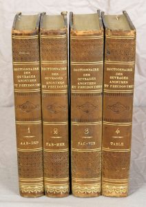
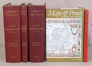
(ATLAS - CARTOGRAPHIE). PHILLIPS (Philip Lee). A list of Geographical Atlases in the Library of Congress, with bibliographical notes. Compiled under the direction of ... Washington, 1909-1914.
Description
Volume I : Atlases. XIII + 1208 pp.
Volume II : Author list. Index. (1) f + pages (1209) à 1659.
Volume III : Titles 3266-4087. CXXXVII + 1030 pp. En 1920 paraissait un quatrième volume.
▬On joint :
• FORDHAM (Herbert George). Some Notable Surveyors & Map-Makers of the Sixteenth, Seventeenth & Eighteenth Centuries and their Work. A Study in the History of Cartography. Cambridge, 1929 (Réimpression, 2005). In-8, XII + 99 pp. toile rouge de l'éditeur. 9 illustrations dont le frontispice et 3 planches hors texte.
• GOHM (D. C.). Maps and prints for pleasure and investment. Londres, 1978. In-8, (4) ff + 196 pp. + (4) ff : index, cartonnage de l'éditeur sous jaquette illustrée. llustrations en noir et en couleurs.


